Reading maps and scale drawings
Work out how to reach destinations using a scale map
In our daily life we take 21st-century technology for granted. Some could argue that we aren’t developing basic skills, as technology often does the work for us. When the technology fails, however, the absence of some necessary skills could create difficult situations.
Can you use our worksheet and presentation to work out how to reach a destination from a scale map?
Activity: Reading maps and scale drawings
This activity is an engaging investigation into the uses of communications technology in the modern world.
There is an opportunity to audit the students’ skills such as visualisation or map-reading to form a scale drawing. These are skills that may not have been developed due to the use of various electronic devices.
As a visualisation activity, distribute the Lost Now presentation as a handout or display it using a data projector. This is an activity where the process of thinking about what the map might show is more important than the actual outcome of the sketch they would produce. The handout has text handouts that can be printed and given to the students. There is also a map using Ordnance Survey symbols that might be better displayed on a screen using a data projector.
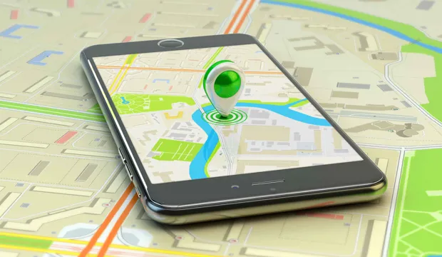
Ask the students to imagine that they are visiting an unfamiliar location and the Sat Nav that they were using froze, indicating their last location. They have an Ordnance Survey (OS) map of the area, but don’t know where they are.
Students should complete the three activities outlined in the presentation either in groups or as individuals.
The visualisation activity should be run as an individual task, with pairs of students coming together to compare their resulting pictures and come to a consensus.
As an extension students could write a more detailed justification of their chosen route to gain assistance.
A plenary discussion should focus on the reliance on technology and the loss of some useful skills from a person’s repertoire as a result of this reliance.
Tools/resources required
- Ruler (a transparent ruler showing millimetres is best)
- Calculators
- Students will need Ordnance Survey symbols from the website below (either print sheets of the symbols or display them on a screen to save on copying).
The engineering context
Living in a highly technological world, where access to information and entertainment is at our fingertips, the Inform and Entertain Me topic is a gateway to engage and introduce students to the principles and technology that form the basis for communication devices that are used in our everyday lives.
Suggested learning outcomes
By the end of this activity students will be able to make informed decisions about technology for social, economic and environmental reasons, they will be able to use scale drawing and they will have an understanding of how waves are used to carry a communications signal.
Download the free Reading maps and scale drawings activity sheet below!
All activity sheets, worksheets and supporting resources are free to download, and all the documents are fully editable, so you can tailor them to your students’ and your schools’ needs.
The activity sheet includes teacher notes, guidance, useful web links, and links (where appropriate) to the national curriculum in each of the four devolved UK nations; England, Northern Ireland, Scotland and Wales.
Please share your classroom learning highlights with us @IETeducation.