How does a Sat Nav system work?
Learn about the technology behind satellite navigation systems and discuss the pros and cons of using them
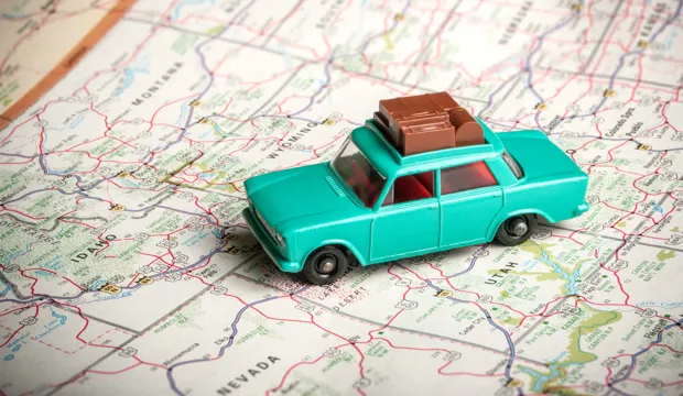
Satellite Navigation (Sat Nav) and GPS (Global Positioning System) location devices are highly important, and every day many people rely on these devices for finding out where they are going. Life has been changed by using GPS positioning systems for a variety of uses.
Can your students consider how a GPS system functions and discuss the advantages and disadvantages of using them?
This activity is suitable for KS3 and KS4 and encourages students to undertake research and produce a visual display.
Activity: How does a Sat Nav system work?
This activity is an engaging investigation into the uses of communication technology in the modern world.
This activity is an individual activity and could be run in an ICT suite to allow students to use the internet for research.
Download the Sat Nav handout and distribute it to students. This handout gives some outline information about satellites and an un-annotated diagram. Students can cut out or copy the un-annotated diagram and add information to this to produce a visual display of how a Sat Nav system works.
This display could be a wall poster or PowerPoint presentation. There is a maximum word count of 200 words for the display.
There are a series of questions on the Sat Nav handout. Questions 1-4 are designed to get students to undertake research on the topic of satellites and their functionalities and capabilities.
How long will this activity take?
This is a simple activity that will take approximately 30 minutes to complete.
Tools/resources required
- Access to the internet
How does a Sat Nav system work?
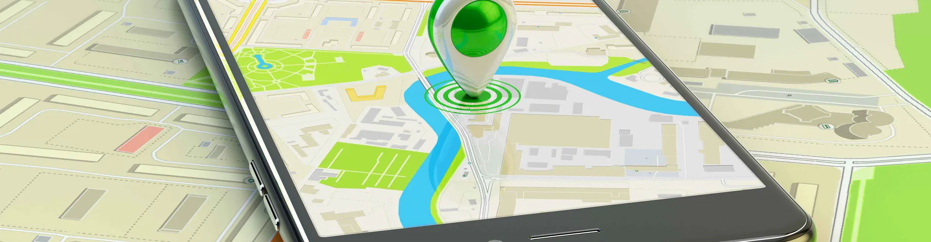
What we often refer to as ‘Sat Nav’ is properly called the Global Positioning System (GPS). This uses satellites that continually transmit a signal. They are like an accurate orbiting clock. The signal from at least three and up to seven satellites is received and compared by the Sat Nav device. Using some complicated maths, the Sat Nav device can work out not only where it is on the Earth’s surface, but at what altitude it is as well. The position information is compared with a map downloaded and stored by the Sat Nav device. The satellites tell you where you are, and the mapping hardware fills in the pictures of the road around you.
The satellites need to have a clear path through the air to the Sat Nav device – this is normally called a clear line of ‘sight’.
The engineering context
Living in a highly technological world, where access to information and entertainment is at our fingertips, the Inform and Entertain Me topic is a gateway to engage and introduce students to the principles and technology that form the basis for communication devices that are used in our everyday lives.
Download the free How does a Sat Nav system work? activity sheet below!
All activity sheets, worksheets and supporting resources are free to download, and all the documents are fully editable, so you can tailor them to your students’ and your schools’ needs.
The activity sheet includes teacher notes, guidance, useful web links, and links (where appropriate) to the national curriculum in each of the four devolved UK nations; England, Northern Ireland, Scotland and Wales.
Please share your classroom learning highlights with us @IETeducation.
Available Downloads

Activity overview
How does a Sat Nav system work? activity description, teachers' notes and curriculum links.

Handout
Student handout looking at the different types of satellites used by communication technology.

Connected health - Podcast
Produced by Fun Kids Radio as part of the Techno Mum series.