London marathon landmarks
Making a map of the route with information about the famous landmarks
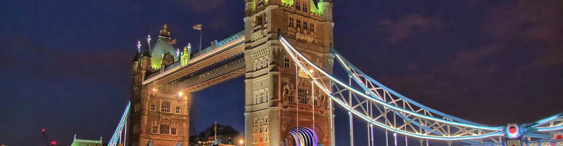
London is not only one of the busiest cities in the world but is also home to some of the most unique and historical buildings and landmarks that many hundreds of thousands of tourists visit every year.
This activity introduces the making of route maps, highlighting key landmarks and information within them, in our capital city.
Activity info, teachers’ notes and curriculum links
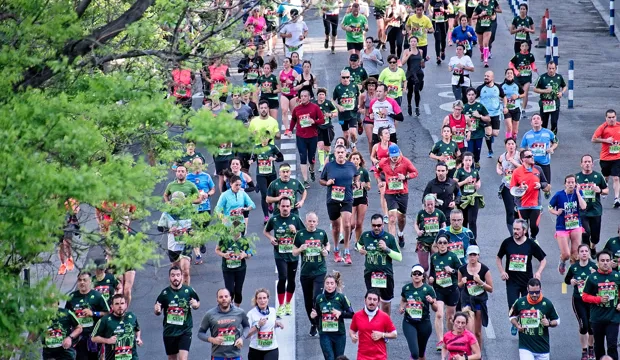
In this activity learners will use the theme of the London Marathon and the making of a route map to highlight key London landmarks.
This activity could be used as a main lesson activity, to teach learners about the making of route maps with the highlighting of key landmarks at set distances on the London Marathon. This contributes to learning in geography and developing skills making graphic products in Design & Technology. As part of a wider scheme, it may also be used for the purposes of focusing on the use of maps and how more detailed information may be included in them.
Download the free activity sheets below!
All activity sheets and supporting resources are free to download and are fully editable, so you can tailor them to your students’ and your schools’ needs.
And please do share your learning highlights and final creations with us on social media @IETeducation or send them via email to IETEducation@theiet.org to be featured in our online gallery.
Tools/resources required
- Sticky tape
- Scissors
- Rulers
- Glue sticks
- Backing card
The activity sheet includes teacher notes, guidance, useful web links, and links (where appropriate) to the national curriculum in each of the four devolved UK nations; England, Northern Ireland, Scotland, and Wales.